Hurricane season is usually that awkward party guest who shows up unannounced. But this year, Erin RSVP’d with a mic drop. It started as a tropical wave—a hushed runway whisper off the African coast—and in less than 48 hours, it exploded into a Category 5 hurricane, the first Atlantic superstorm of 2025. Now downgraded to a still-storming Category 3, Erin is cruising WNW with dangerous intentions, like a sociopath with high-speed internet access taking selfies as it wrecks the Caribbean neighborhood.
Here’s how we got from wave to apocalypse so quickly—and why your coastal neighborhood still thinks it’s fine.
Erin Didn’t Just Intensify—It Went Nuclear
Erin went from a tropical storm to a Category 5 monster within 24 hours—a textbook case of “rapid intensification.” The nearest analog is giving a small puppy a Red Bull and calling it Godzilla. Meteorologists can barely keep up; supercharging like this isn’t just rare—it’s dismayingly common now. Erin peaked at nearly 160 mph winds before calming to a still-terrifying 125 mph. But beware: forecasters warn this storm will get wider soon, meaning East Coasters should start practicing their swim strokes and exit strategies.
Climate Change is Erin’s Fuel
Remember when hurricanes were fictional threats you only watched in movies while eating popcorn? That’s officially over. Erin’s speed and strength reflect a warming ocean being fed more energy than a battery-running Jeff Bezos. The storm marathoned through hot, moist air and ocean temperatures that feel personally insulted by climate denial. The atmospheric stew—it’s just loaded: 7% more water vapor per degree Celsius of warming, and thermodynamic chaos wrapped in a cyclone.
In the Atlantic, storms like this should be rare in mid-August. Erin had other plans. In short: the climate is handing storms an espresso shot and telling them to flex.
Sources: Atlantic rapid intensification trends; climate-induced warmer, wetter air
The Eyewall Stadium: Nature’s Unsettling Spectacle
Somewhere inside Erin’s eye, weather drones captured a “stadium effect”: the clouds arched like stands, with calm center field. Imagine attending the worst sporting event ever, where the water’s eight feet deep and the announcer says “May the odds be ever in your favor.” That footage went viral, like natural theater by way of atmospheric dysfunction.
Coastal Communities: Stop Pretending It’s Fine
Erin is currently barreling past Puerto Rico, the Leewards, and Turks & Caicos—with surges and rip currents itching to remind everyone what “off season” really means. The Eastern Seaboard? Don’t get cocky. Swells and shifting currents will buffet beaches with all subtlety of a toddler in a china shop.
Puerto Rico has already felt Erin’s teeth: flooding, landslides, and electricity in short supply. Meanwhile, FEMA and island governments are scrambling with shelters, sandbags, and existential dread wrapped in a beach towel.
Forecasts Are Getting Realer, But Readiness Isn’t
Erin is a high-definition harbinger that we remain gloriously unprepared. NOAA budgets stagnate. Forecasting tools are slick, but the staffing and infrastructure to respond are riding the budget bus leaving the station. Erin might just be the first hurricane to truly test America’s disaster-readiness under its current regime—and it’s shaping up as a quiz nobody studied for.
Quick Glossary of Climate-Conferred Hurricane Enhancers
- Rapid Intensification: Erin’s swift wind gain—like going from zero to hell mode in hours—thrives on overheated, deep ocean heat pockets and steady wind shear avoidance.
- Hot Towers: Plumes of sheer energy that shoot skyward and feed the storm’s engine like evil cosmic air conditioners.
- Climate Amplifiers: Warming seas, richer moisture, and greenhouse gases turning seasonal cycles into Marvel villain origin stories.
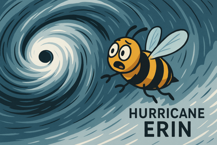
The Bee’s Closing Sting
Erin didn’t ask. It declared. But passive acceptance isn’t the only way to weather the storm of climate breakdown. A Category 3 downgraded wannabe Gen-Z apocalypse needs more than memes and emergency tweets. Erin is the climate on your doorstep, drinking all your milkshakes—and things get worse when you think it’s just “another storm.”
We can’t binge-wait for the next natural disaster clip to trend. We need real-time action—climate adaptation, equity-driven resilience, and infrastructure rebuilds that don’t skip the package.